《TAIPEI TIMES 焦點》 Goni weakens as it approaches nation
/ Staff writer, with CNA
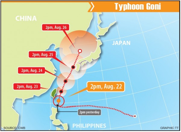
Typhoon Goni, which is expected to affect Taiwan this weekend, has slightly weakened in intensity and speed, the Central Weather Bureau said yesterday.
As of 8pm yesterday, Goni was centered 320km south-southeast of Oluanpi (鵝鑾鼻), and was expected to move north at 6kph.
The 200km-radius storm was packing sustained winds of 162kph, with gusts of up to 198kph, the bureau’s data showed.
Goni was spinning in place, but is expected to turn north, bureau senior specialist Wu Wan-hua (伍婉華) said. If it moves north parallel to the east coast of Taiwan as previously forecast, the bureau would not issue a land warning for the typhoon, she added.
Nevertheless, the public should still remain alert, because the typhoon is to be at its closest to Taiwan today and tomorrow, Wu said.
Orchid Island (Lanyu, 蘭嶼) was already experiencing strong gusts yesterday morning due to Goni’s outer currents, while swells were observed in the Taiwan Strait and in waters off the southeast coast, the bureau said, adding that people should avoid seaside activities.
Meanwhile, National Central University Department of Atmospheric Sciences professor Wu Der-rong (吳德榮) warned that northern and northeastern Taiwan should expect to be pelted by heavy rain in coming days, regardless of how close Goni gets to the nation, urging people to take precautions.
新聞來源:TAIPEI TIMES